


Tavolara Summit Trek

Tavolara Summit Trek
🥾 How difficult is the trek and via ferrata?
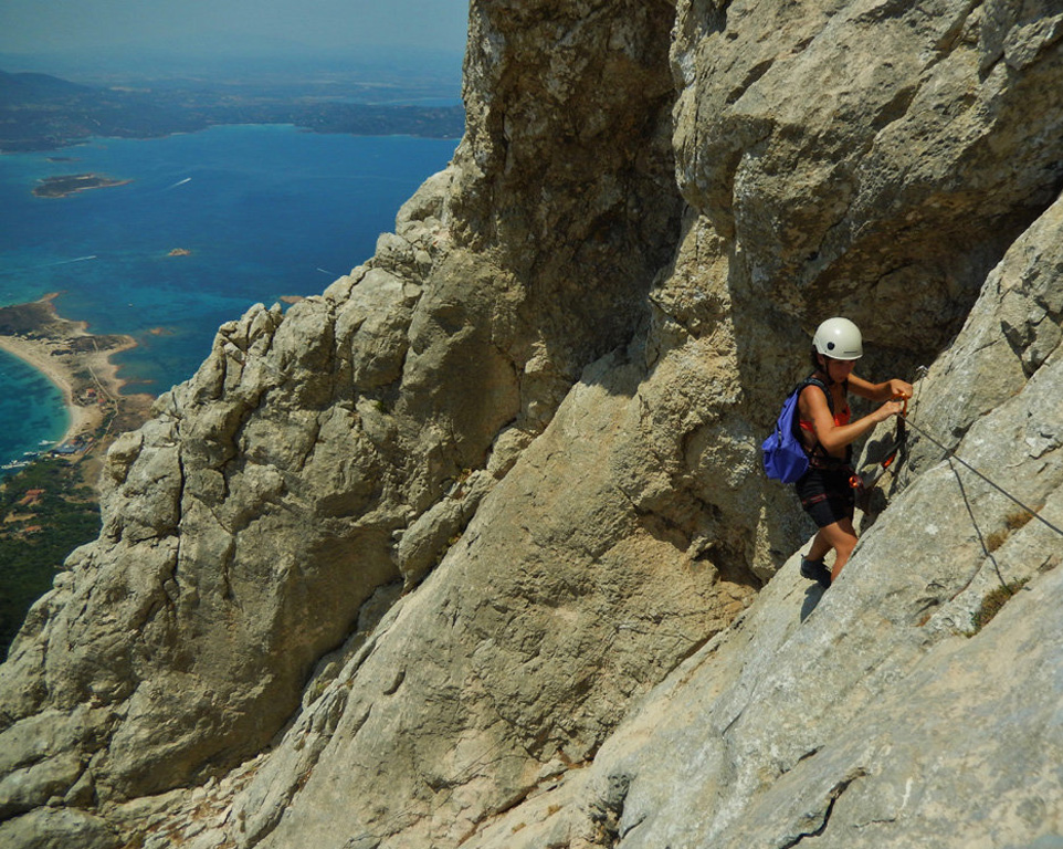
To reach the summit of the island, Punta Cannone (565 m), participants must face a moderately challenging trek, particularly demanding during the warmer months, followed by a short via ferrata suitable even for first-time participants.
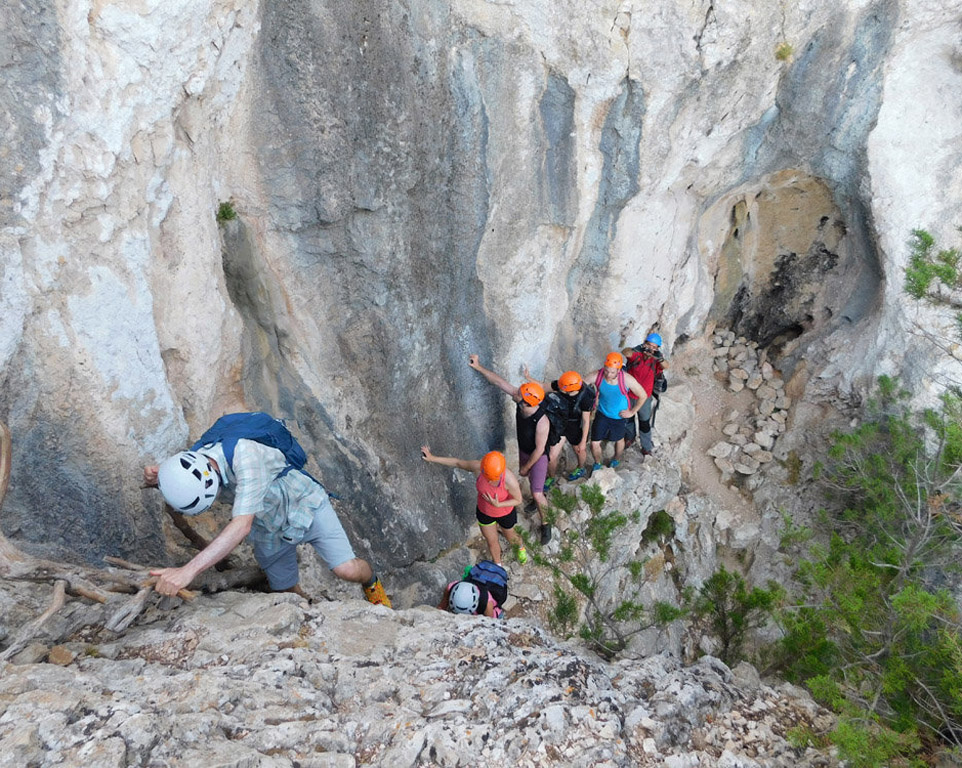
Contrary to what one might expect, the most physically demanding section is the hiking trail leading to the beginning of the via ferrata. The equipped section, although requiring a helmet, harness and via ferrata kit, has a limited technical difficulty and is also accessible to beginners.
It is essential that all participants have a good level of fitness and do not suffer from vertigo or fear of heights.
📍 Meeting time and location
🕒 Time
The meeting time varies depending on the season and weather conditions. During the cooler months, departure is generally scheduled for 8:30 AM, while in August it is brought forward to 6:30 AM to avoid the hottest hours of the day.
📌 Location
Cala Finanza
https://maps.app.goo.gl/V8kk2wc4QiJnLHyQ7
🌄 Route description
Tavolara Island is a majestic limestone massif rising 565 meters above sea level. Considered one of the gems of Gallura, it dominates one of the most spectacular stretches of sea in the Mediterranean, with its unique profile appearing suspended between the deep blue sea and the sky.
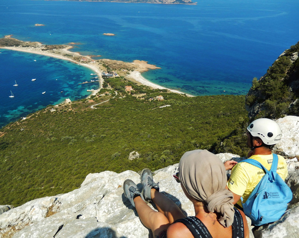
The trek begins from Spalmatore di Terra beach, at the foot of the impressive rocky wall that characterizes the island. The crystal-clear waters surrounding the coast offer breathtaking views of the seabed from the very first steps of the ascent.
The first section of the route is easy and, within a few minutes, leads to Punta La Mandria, where the real climb begins. The steeper and more challenging trail crosses the first rocky ledge and reaches the area known as Il Pratone (or Bocca del Cannone), a spectacular natural terrace offering unique views over the Gulf of Olbia.
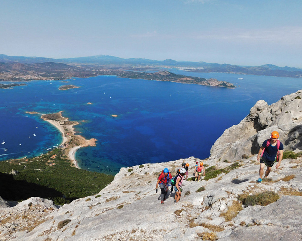
From here begins the most exciting part of the excursion: the final ascent towards Punta Cannone. To complete this section, the use of a helmet, harness and via ferrata kit is mandatory.
The final section can be completed through two different options:
- a route with fixed ropes, approximately 30 meters long;
- a route with two short sections of equipped via ferrata.
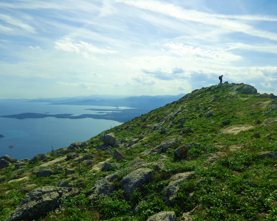
Once this section has been completed, the effort is rewarded by reaching the summit of the island, where the famous Madonna statue of Tavolara overlooks one of the most spectacular views in Sardinia.
From the summit, the panorama extends in all directions:
- 🌊 North: Capo Figari, Costa Smeralda, Corsica and the Strait of Bonifacio.
- 🌊 West: Olbia, Porto Istana and Porto San Paolo.
- 🌊 South-West: Capo Coda Cavallo, Molara Island and Molarotto.
- 🌊 East: Punta Timone, Punta del Papa and the endless Tyrrhenian Sea.
Once at the summit, we will take a break of approximately 30 minutes for a packed lunch before starting the descent.
At the end of the excursion, there will be time to relax on Tavolara beach and enjoy a swim in its beautiful crystal-clear waters.
💶 Price
€70 per person
The price includes
- 🚤 Round-trip boat transfer
- 🪖 Helmet
- 🧗 Harness
- 🔗 Via ferrata kit
🎒 What to bring
- 💧 At least 2 litres of water (3 litres during the hottest months)
- 🥪 Packed lunch
- 🍎 Fruit and snacks
- 🎒 Comfortable backpack (large enough to carry the harness and via ferrata kit)
👕 Recommended clothing and equipment
- 🥾 Hiking shoes or trekking boots
You can also bring a swimsuit and beach towel, which will be left at the base of the island during the ascent so you can enjoy a swim at the end of the excursion.
ℹ️ Note
🥾 Trekking shoes can be rented for an additional cost of €10. Rental requests must be made at least one day before the excursion.
ℹ️ Technical Information
📍 Location: Olbia
🌿 Category: Nature, outdoor sports and recreation
🥾 Route length: approximately 7 km
⛰️ Elevation gain: approximately 600 m
🕒 Duration: 4–6 hours (depending on the size and pace of the group)
⚠️ Difficulty: EEA – Experienced Hikers with Via Ferrata Equipment
🧗 Route type: hiking trail with via ferrata sections and fixed-rope passages
🪨 Terrain: mountain trails, exposed ledges and sections requiring the use of via ferrata equipment
🧭 Trail marking: none
📞 Contact
📧 Email: thinkingsardinia@gmail.com
📱 Mobile / WhatsApp: +39 333 689 8146